Finally, a travel post!
Spring/summer 2020 has not exactly been the best time for traveling, thanks to our good friend, COVID-19. While travel is still risky, camping – driving your own car, sleeping in your own tent, and spending an entire weekend outside in nature – feels… not entirely reckless, at least.
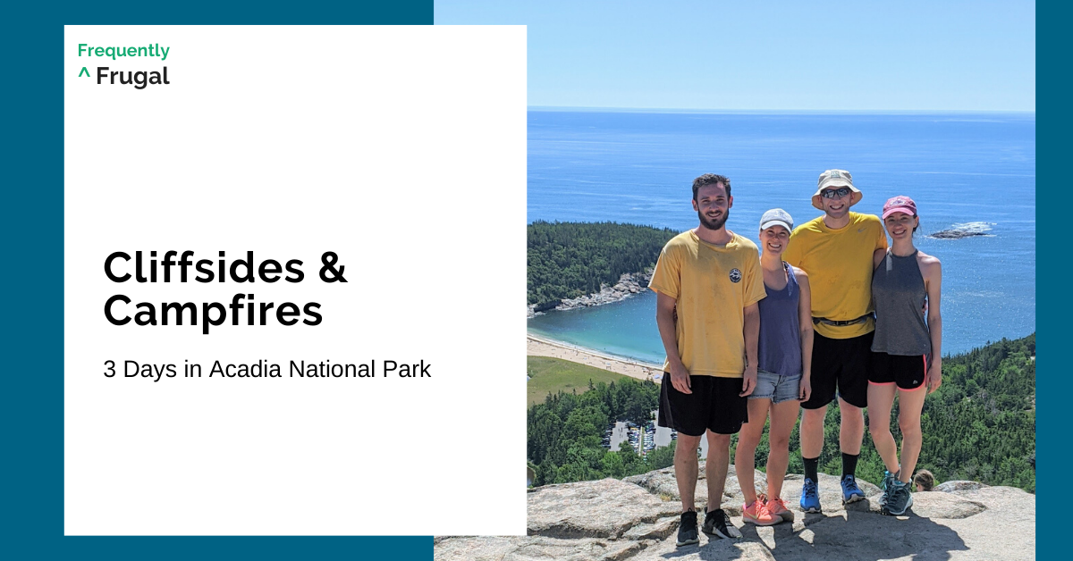
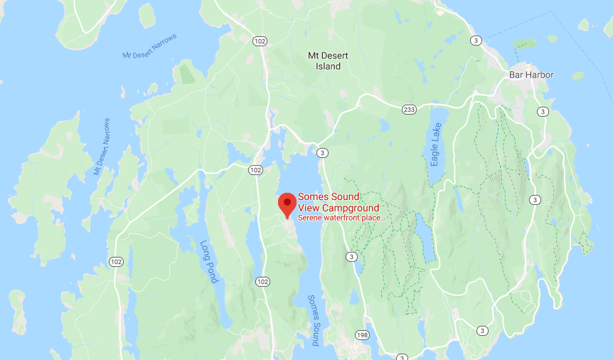
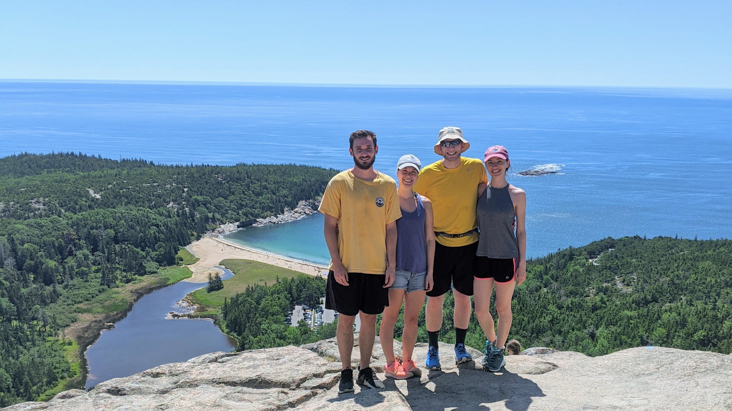
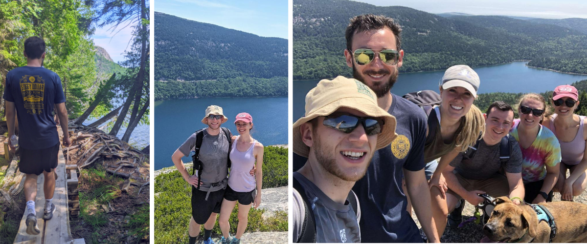
Hans and I began August 2020 in Acadia National Park with my brother and three of our friends. We stayed at Somes Sound View Campground, located on Mount Desert Island, just across the Somes Sound from the majority of Acadia National Park’s attractions. We were happy to find that the campsites generally had some space between them, and that there were tons of portable toilets distributed around the grounds – which we witnessed being cleaned frequently. The toilets were stocked with hand sanitizer, but we kept a bar of soap by our water spigot to use instead.
We spent three days and two nights on the island, hiking, biking, swimming, and trying out our hand at making campfire food.
Day 1: Biking the Carriage Roads
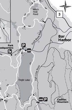
After setting up our tents, we decided to try out some of the carriage trails. We parked along Route 233 north of Eagle Lake, then set out to ride clockwise around the lake.
Since carriage roads were designed for horse-drawn carriages, my assumption was that they would be similar to rail trails. Converted railways were originally built for trains, so the gradients don’t tend to be much steeper than 2-3% – meaning that you don’t climb/descend more than 2-3 feet in elevation within 100 feet of traveling along the trail. I’m not really much of a cyclist, so I love rail trails.
That said, the western side of the Eagle Lake carriage trail has a fairly long and steep hill that a train would not be allowed to travel on. My legs were not the happiest. In retrospect, it may be easier in the counter-clockwise direction. Oops!
After completing the Eagle Lake loop, we passed under Route 233 and rode the Witch Hole Pond loop (also clockwise). When doing the Witch Hole loop, Hans encourages you to stop off at the Duck Brook Bridge for an impressive bit of Civil Engineering.
After our bike ride, we headed back to the campsite for an evening of pizza and s’mores!
Day 2, Part 1: The Beehive & Gorham Mountain
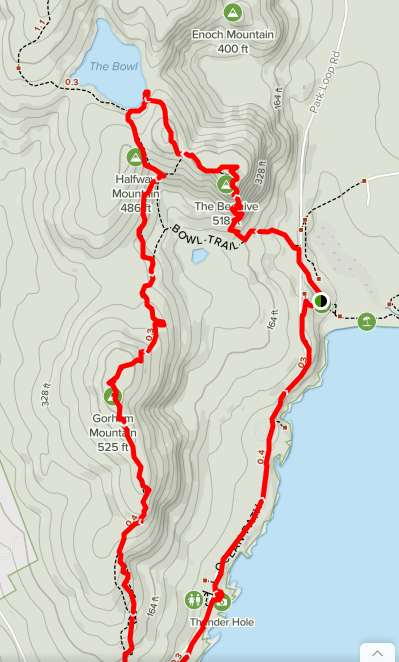
On our first full day in Acadia, we decided to dedicate the day to hiking. We parked just past the Park Loop Road entrance station (near Sand Beach) and headed toward one of the more interesting mountains: The Beehive.
While the ascent is quite short, it involves a steep climb up exposed cliff faces and along narrow ledges. There are iron rungs to assist you, but this hike is certainly not for everyone. For those not walking a dog (they’re not allowed on the trail, for good reason) or terrified of heights, though, it’s worth doing!
At the top, we paused to enjoy the views of Sand Beach, Great Head, and Frenchman Bay. We then followed a rolling descent north-west to The Bowl, a pond where we met up with our friends who had taken the Bowl Trail instead.
From The Bowl, we proceeded south along the Gorham Mountain Trail to the top of – you guessed it – Gorham Mountain!
This trail has a fun split-trail option on the southern descent, with the eastern leg involving some rock scramble and iron ladders, while the west is a more moderate option. The two meet up shortly before spilling you out at a trailhead parking lot.
We finished with a pleasant stroll back up the coastal trail to where our cars were parked, and took a quick dip at Sand Beach before heading back to the campground for a late lunch.
Day 2, Part 2: Flying Mountain
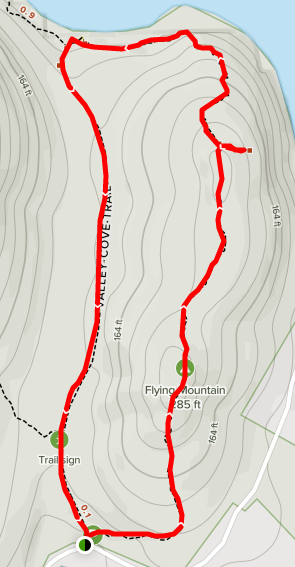
Despite our big morning, we decided to bag one more (small) peak before nightfall.
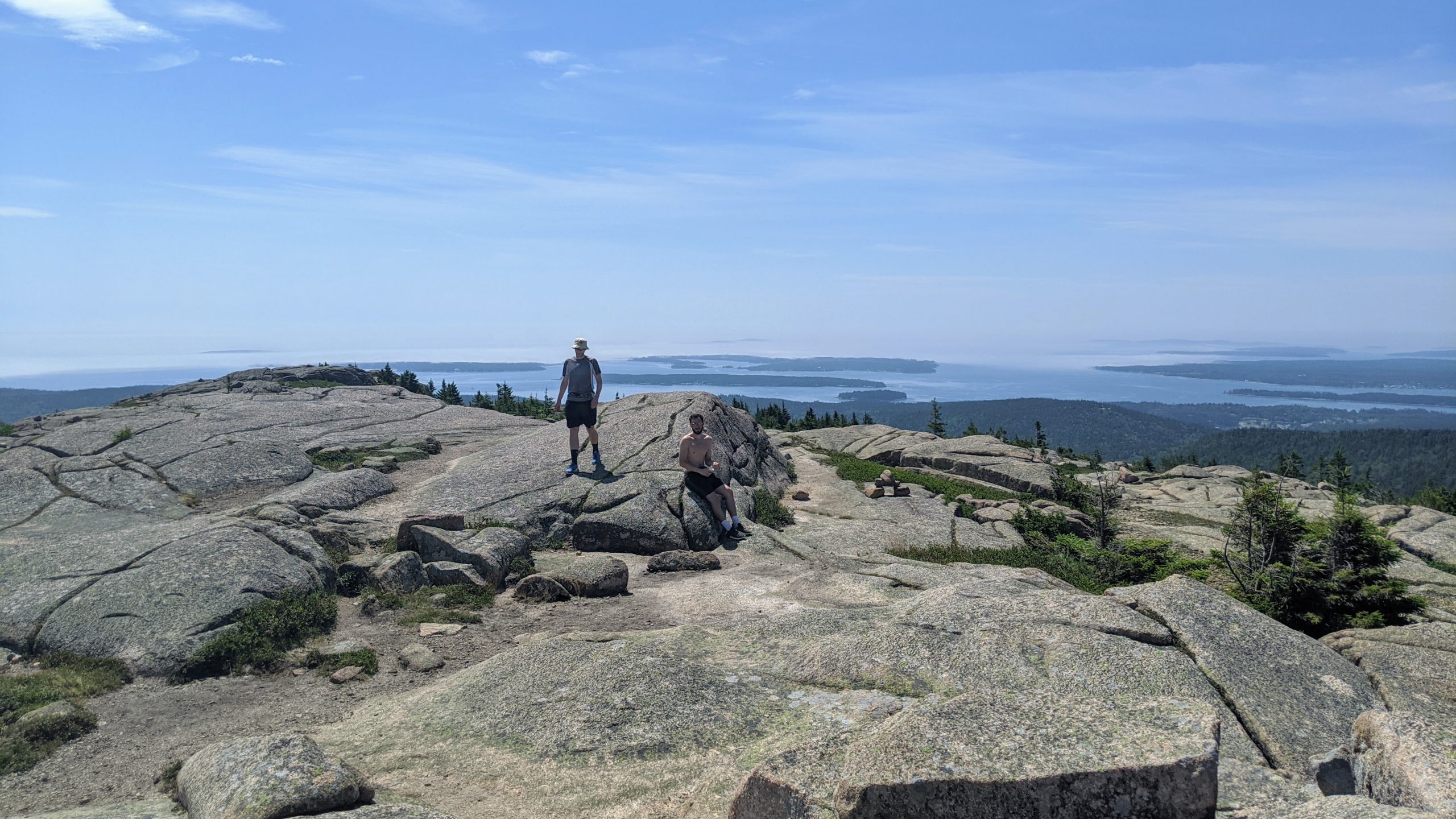
We spent long enough looking for the perfect trail that we did not accomplish our plan of hiking and still being able to catch the sunset at Cadillac Mountain. But we did find a fun little evening hike!
Near to our campsite on the far side of Somes Sound from the rest of the park is the Flying Mountain trailhead. We chose to do the hike in a clockwise direction. It made for a longer, easier ascent, and we were met with some nice views east across the Sound looking towards the larger mountains that make up the bulk of Acadia National Park.
We ended the day’s final hike with a quick and steep-ish descent back to the parking area, and drove back to our campsite. We prepared a feast of food inspired by Fresh off the Grid recipes:
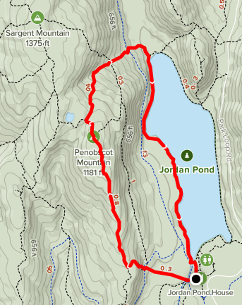
Day 3: Jordan Pond & Penobscott Mountain
We woke up on our last day, ready to tackle one final mountain: Penobscott.
We parked at the Jordan Pond trailhead, which is located at the end of a large lot right off the Park Loop Road. Conveniently, this is pretty near smack-dab to the middle of the park. Whether you just want an easy stroll to the southern tip of the pond for the views of the two Bubble Rock mountains and the crystal clear water, or if you’d like to launch up to one of the mountains overlooking the water, this is a good place to start.
We chose to start our hike by traveling up the west edge of Jordan Pond. The path was made of soft pine loam soil interspersed with glacial rocks and man-made wooden boardwalks.
As we rounded the top of the lake, we struck northwest up the Penobscot Mountain trail. Then, at the first major intersection after crossing the carriage trail, we were presented with three options:
- right (north) takes you to Sargent Mountain
- straight ahead (west) climbs towards Penobscot’s peak
- left (south) also heads to the top of Penobscot, but via the Jordan Cliffs Trail
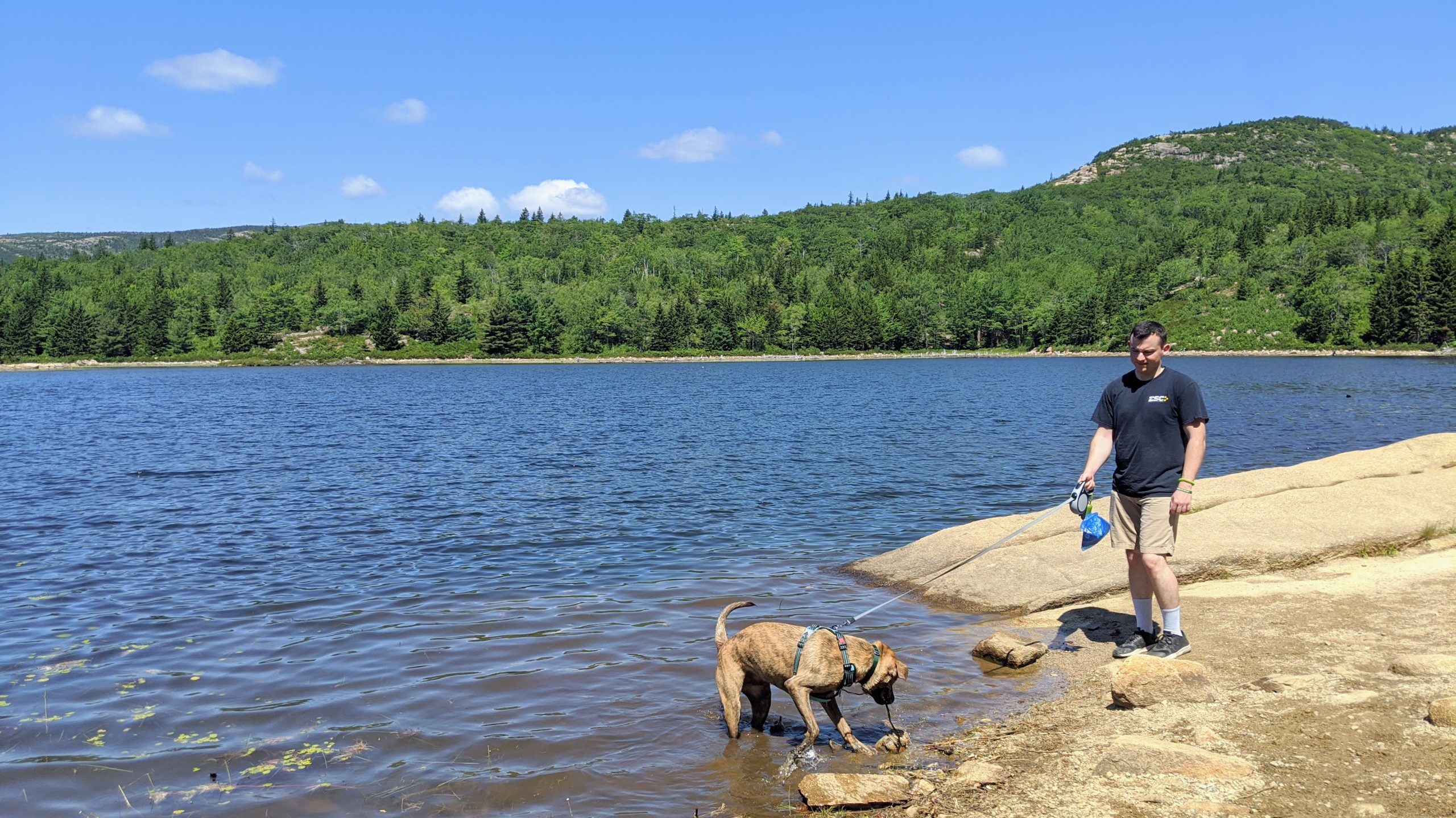
Our party split at this point to the west and south – our friends with a dog took the westerly route (and later reported that there were many stairs!) while the other half of our party went south to the Jordan Cliffs Trail.
The Cliffs is an exciting ascent with multiple great views along the way, but involves some bouldering at the outset that would make it impassible for dogs that can’t be carried.
Descending down the southern spine of the mountain feels like an endless sprawl – lots of exposed rock face, but with great views south of the island across the ocean. On our way down we met several hikers coming up, talking about their false-alarm spottings of the top while still rather far away from the true summit.
We were happy with our decision to take this path down. That is, at least, until we reached the tree line.
We were surprised to find some pretty treacherous terrain, which was especially difficult for the dog we were hiking with. Consider avoiding this trail if you are nervous around heights, or if you have animals/children that might have difficulty climbing down ladders and steep rocky scrambles. Perhaps we should have done the hike in a clockwise direction, after all!
Once we crossed over the carriage trail, the tricky bits were over and we found ourselves in the home stretch. We returned to the parking area and then set out on our 5-hour car ride back to New Hampshire.